


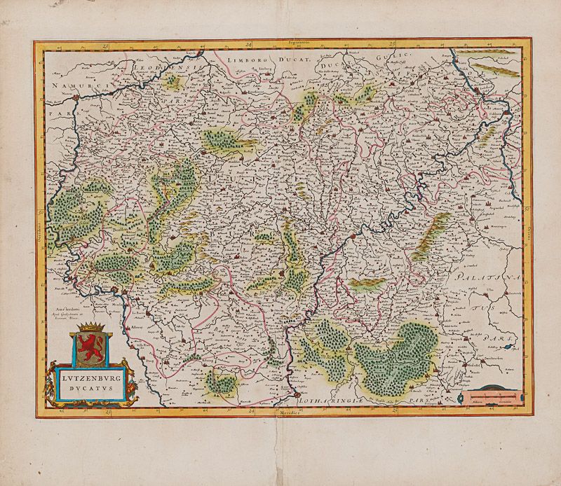
Blaeu, Lutzenburg Ducatus.
Lutzenburg Ducatus.
Original hand-coloured copper engraving. Amsterdam, Blaeu, [c.1630]. Plate Size: 49.7 cm x 37.7 cm. Sheet Size: 57.3 cm x 50.2 cm. Nice, bright original map in very good condition. Traces of browning and minor tearing to outer margins. French text on reverse.
[Van der Krogt 2, 3380:2.2; Van der Vekene, 2.12.B; Koeman 3380:22].
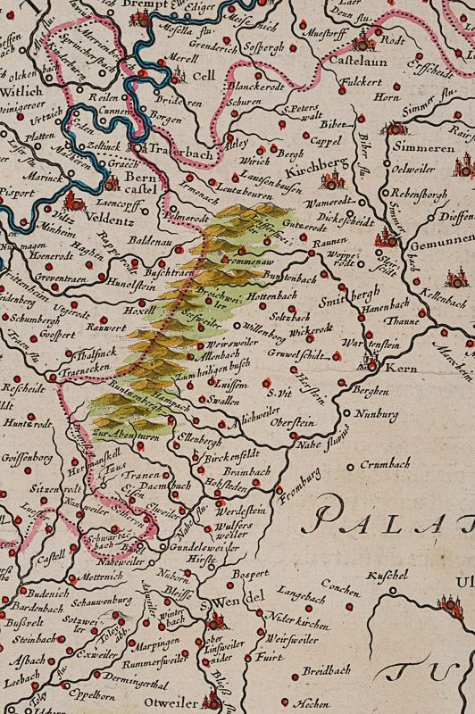
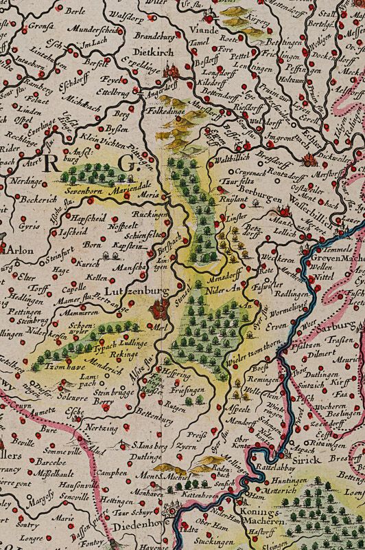
Large and interesting map of the historical Duchy of Luxembourg. Richly detailed, with relief shown pictorially. The region is dominated by the Meuse, Moselle and the River Rhine to the north. The value of the highly-contested ground is evident given the fortified towns marked on the map: Namen, Metz and Sedan: control of this region would change hands many times over the centuries as frontiers moved back and forth across maps. The map is crowded with the names of cities such as Trier, Luxemburg, Saarbrucken and Coblentz – evidence of the urban nature of the heavily populated and rich region. The vast forests such as the Ardennes are also marked on the map. Areas making up modern-day Rhineland-Palatinate (Germany), Saarland (Germany), and Lorraine (France) can be seen on the map also.
In the lower left corner is the title cartouche with a coat-of-arms. In the lower right corner is the mileage bar scale.
Willem Janszoon Blaeu (1571-1638) was a Dutch cartographer, atlas maker and publisher. Along with his son Johannes Blaeu, Willem is considered one of the notable figures of the Netherlandish/Dutch school of cartography in its golden age (the 16th and 17th centuries). Blaeu set up his mapmaking and publishing business in Amsterdam, where he sold instruments and globes, published maps, and edited the works of intellectuals like Descartes and Hugo Grotius. In 1633 he was appointed map-maker of the Dutch East India Company. In 1635, he released his atlas, Theatrum Orbis Terrarum, sive, Atlas novus.
Willem died in 1638. He had two sons, Cornelis (1610-1648) and Johannes (1596-1673). Joan trained as a lawyer, but joined his father’s business rather than practice. After his father’s death, the brothers took over their father’s shop and Joan took on his work as hydrographer to the Dutch East India Company. Later in life, Joan would modify and greatly expand his father’s Atlas novus, eventually releasing his masterpiece, the Atlas maior, between 1662 and 1672. (Wikipedia)
- Keywords: 17th Century · 17th Century Map · Cartography · Catalogue No.5 – Maps of the World · Europe · Luxemburg · Map · Original Engraving · Original Map · Original Maps · Rare Map – Luxembourg · Rare Map Europe · Vintage Map
- Inventory Number: 200037AG
EUR 375,--
We ship per DHL Express


Contact
Inanna Rare Books Ltd.
Woodley House
Castletownshend Road
P81 D262 Skibbereen, County Cork
Ireland
Phone: ++353 - (0) 87 - 102 5412
E-Mail: info@inannararebooks.com
Internet: https://www.inannararebooks.com
Online Bookshop specialized in rare
and secondhand books.
Newsletter and E-Catalogue Sign Up
Payment Options


© 2026 Inanna Rare Books Ltd. | Powered by HESCOM-Software

